Printable Blank Maps
8 free blank maps for map tests, homework and colouring. Every map comes three ways: blank, as a numbered worksheet, and with an answer key. No sign-up, and you can print as many copies as you need.
8 map setsBlank · worksheet · answer keyFree for classroom use
United States
All 50 states on one page. Small northeastern states get a numbered circle beside them.
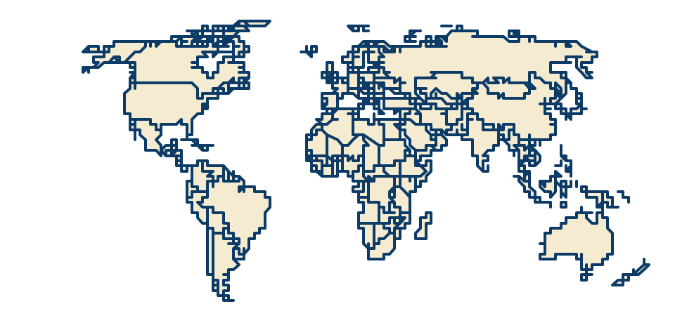
The world
Every country on a Robinson projection. Best printed in landscape.
Continents
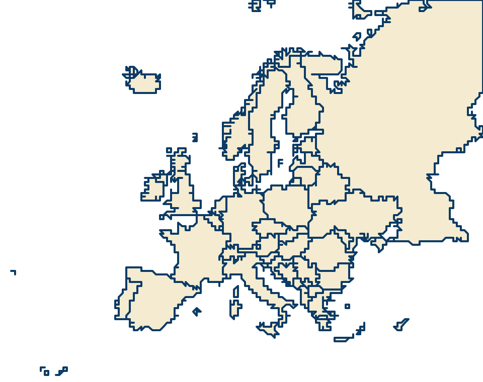
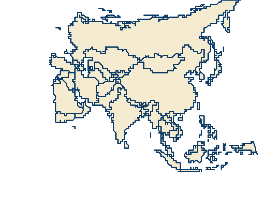
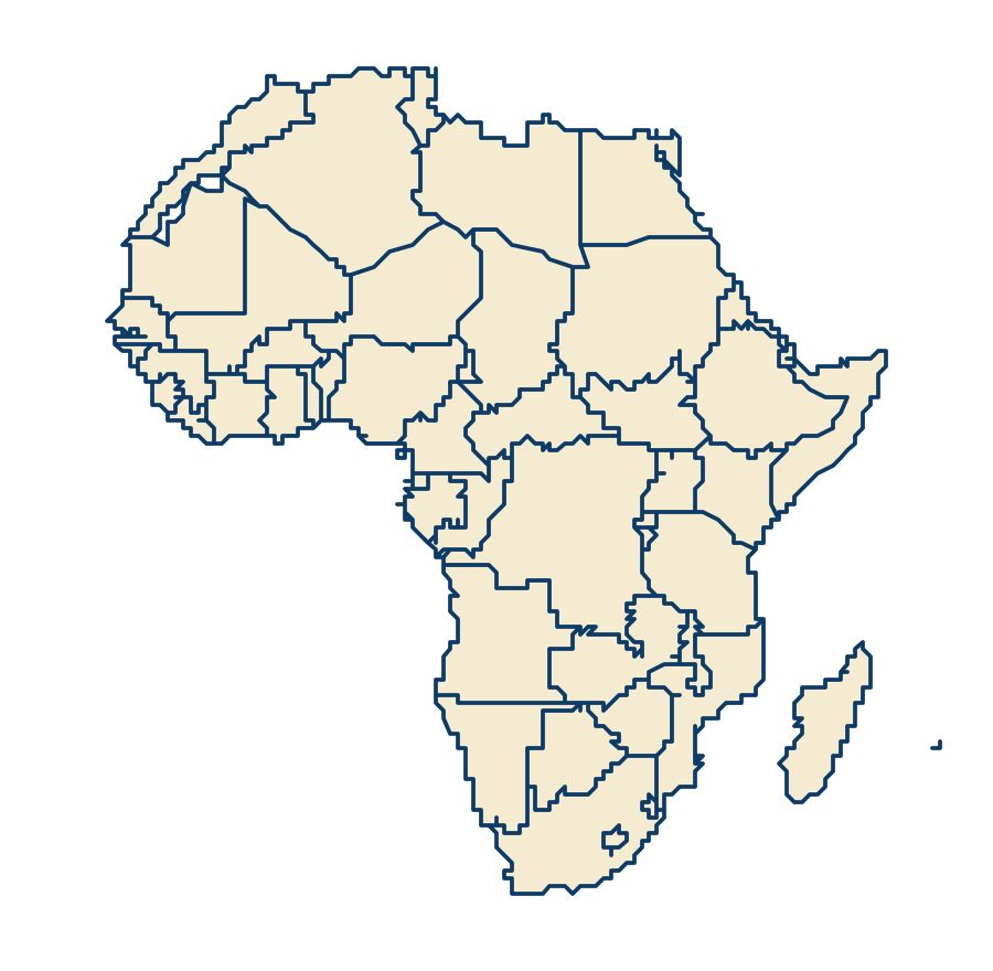
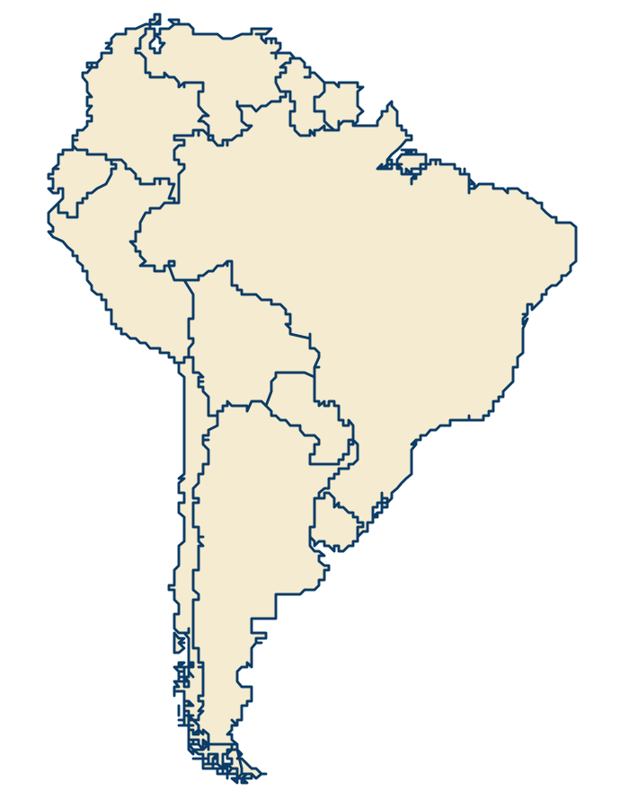
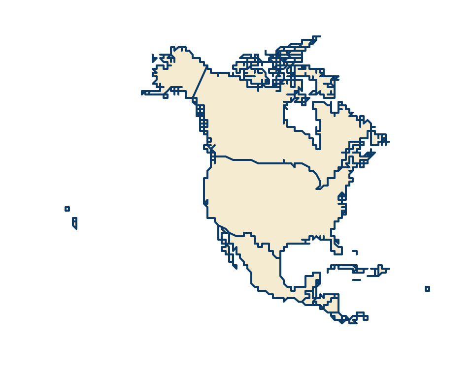
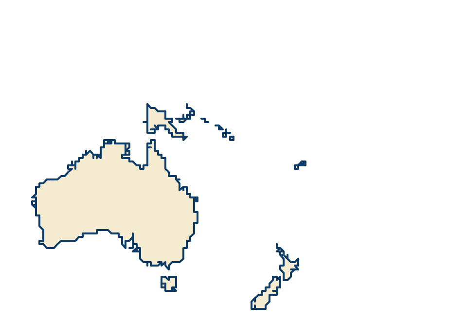
One map per continent, each on a projection that keeps the shapes true for that part of the world.
How to print
- Open a map and choose blank map, numbered worksheet or answer key.
- Your browser's print window opens. Choose landscape, and turn off headers and footers for a clean page.
- To save a PDF instead, choose "Save as PDF" as the printer.
Terms
Free for classroom and home use. Please link to quizmymap.com if you share these maps online.
Last updated . Play the maps online: US Geography Quizzes, Countries of the World Quizzes, World Capitals Quizzes.